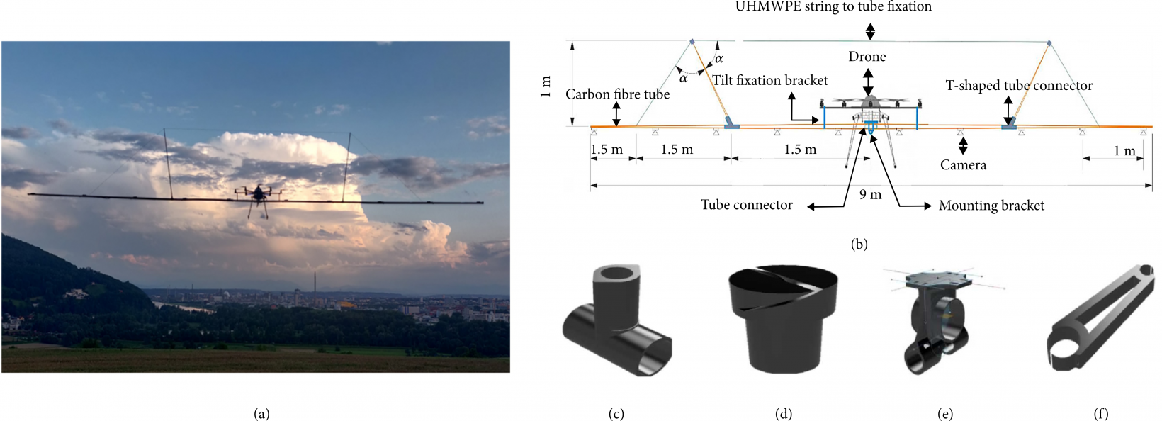
Per the team’s research paper: Up front: There are myriad ways an interested party could track moving objects through dense foliage, including FLIR and other thermal optics systems, but this offers a new AI-powered wrinkle: the ability to track color changes through occlusion. This finding together with the implementation of an initial drone-operated camera array for parallel synthetic aperture aerial imaging allows presenting first results on tracking moving people through dense forest. Besides people, other targets (e.g., vehicles or animals) can be detected and tracked in the same way. This might impact many application domains, such as search and rescue, surveillance, border control, and wildlife observation. Teaching an AI to figure out what’s going on in an image when a significant amount of relevant information is hidden is one of the AI world’s biggest challenges. In this case, the researchers developed a system capable of using a technique called “color anomaly detection” in real-time to track occluded objects in motion — a first, according to the Journal of Remote Sensing. Background: The team created a lightweight 1D camera array that captures overhead images of high-foliage areas via drone deployment. Traditional aerial photography techniques use color anomaly detection to scan images for clusters of pixels that don’t match the natural environment. However, the team’s contribution was to develop a hardware and machine learning combination that combined traditional techniques with their new airborne camera system to create something capable of identifying color anomalies and tracking them through occluded areas. Credit: Nathan, et al. Quick take: This could have immediate and potentially massive benefits for search and rescue efforts. Due to its relatively low compute requirements and power overhead, this is a solution that could be shipped to secluded areas of the world relatively quickly and put into service immediately. I can see this saving the lives of hikers who’ve gone off course or plane crash survivors stuck in remote areas. It could also have huge upside for conservation efforts if used in combination with GPS tagging and other tracking efforts. But it’s also apparent that something like this could turn a Predator drone, for example, into something capable of tracking targets through occluded areas (such as congested city blocks or jungles) even if it loses connectivity with its human controllers or has its communications jammed.
